


HIKING
SPEND THE DAY ON RUGGED MOUNTAIN ROUTES OR A FEW HOURS IN MONTANE CLOUD FOREST
If the visitor does not have several days to spend in the region, some options are half-day or full-day hikes within the parks and sanctuaries, in the rural areas, and particularly in agricultural areas surrounding Tarma (3,000 meters) and Villa Rica (1500 meters). Two examples are:
Along the old highway leading into Tarma the brilliant diversity of color among flowers is the highlight among flower-producing farms.

Photo: Antonio Escalante - PROMPERÚ

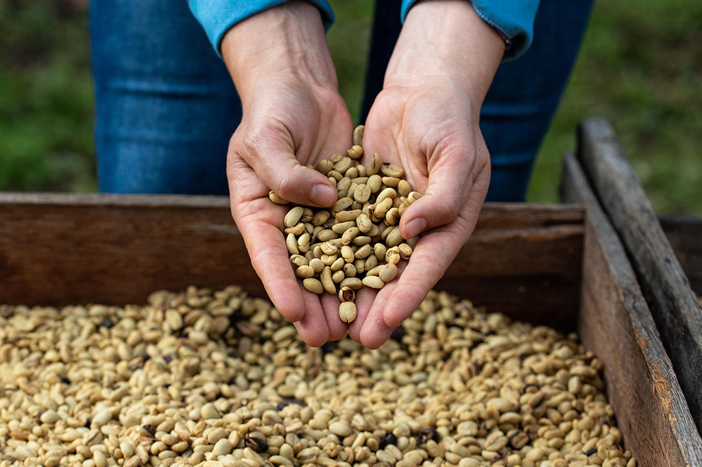
Photo: César Vega - PROMPERÚ
Go back, way back in time
In Huaricolca (3300 meters) 20 km outside of Tarma is a two-hour hike from the center of this traditional community to the Santuario Rupestre de Pintish Machay with pre-historic drawings.
Along an Incan road in Tarma the traveler can hike in five (5) hours, from Ninatambo in Tarma (3000 meters) by Tupín, Acobamba, Picoy and Palcamayo along a secondary Inca trail. The hike through these sites offers cultural diversity, traditional terraced agriculture and creative cooking, a little of everything.

Photo: César Vega - PROMPERÚ

Photo: César Vega - PROMPERÚ
A hike with a challenge runs from Acobamba (3000 meters/ 2°C - 23°C) to the Gruta Huagapo cave, 30 meters high and more that 2,000 meters deep. Alternatively a good option is hiking from Acobamba along the terraced farms to La Florida.
A challenging hike that offers a lot to see begins at the Acobamba - Palcamayo highway (3200 meters / 4°C - 23°C) and continues past Yaumanpata, a small pre-Incan city archeological ruin, to Cauquirán where hikers may see llamas grazing. From there the hike goes through Cañon de Ushtu and ends at the extraordinary cave, Gruta de Huagapo, 8-9 hours in all.
The Inca Trail around Tarmatambo (3200 meters / 4°C - 23°C), the Inca regional capital up to the 1500’s, has little comparison. The Inca Trail is not really a trail but an ancestral road where the travelers of that period reenergized their bodies in front of the Inca wall 11 km in length. Beautiful countryside, llamas, cave paintings, temples, interesting wild medicinal plants, legends, traditions and customs accompany this three-hour route to Huaricolca.

Photo: Daniel Silva - PROMPERÚ
From the Tarma-San Pedro highway (4000 meters/ 0°C - 21°C) travelers often want to visit San Pedro de Cajas, home of the best weavers in Central Perú. The hikers may choose to go directly to the 2 de mayo zone and get off at the Instituto de Bellas Artes. From the school, a 6-hour hike heads toward the secluded Laguna Ashtupahuay, home of birds other wildlife of the high Andes, and descend to Cañon de Yanallacu into the Chuyac Archeological site. From the archeological site the hike continues to Abrigos Rocosos de los Hombres Primitivos Taramas, home to the last Incas in the region. Then on past the cave, Gruta de Pacupa Huayín, to the Palcamayo highway (3700 meters).

To submerge oneself in the natural world is to enter the most diverse montane cloud forest in the world, Puyu Sacha (1500 meters / 10°C – 28°C). The non-profit organization, APRODES, located in Naranjal, near San Ramón, offers two half-day hiking trails. You may see some 231 bird species, 500 tree species, like the Ulcumano (the only conifer in the Amazon), Ficus, Quina, Palta, Lúcumo, Sauco; 60 species of mammals, including 3 species of monkey; deer and puma, amphibians, abundant orchids and bromeliad.
APRODES
T +51 996 411 245
http://www.puyusacha.org/
Pampa Hermosa National Sanctuary (2200 meters / 9°C – 21°C), one hour by auto from San Ramon, and a three-hour walk along a steep trail leading to the pampa, is also part of the most diverse montane cloud forest in the world. Rainfall captured by the eco-system in this sanctuary feeds the Oxabamba River that leads to San Ramón. The mountains beautify the region with 280 species of plants per hectare, an ideal refuge for high rain forest native plants, like the heliconia, walnut, giant pre-historic ferns and the enormous cedars. The El Abuelo, the grandfather of them all cedars, some 50 meters high and four meters in diameter, is the symbol of the conservation efforts of the region. Waterfalls, streams, and majestic diversity accompany the hiker on the three hour walk up to the pampa.
SERNANP
T +51 968 218 438
azambrano@sernanp.gob.pe

Photo: Walter Silvera - PROMPERÚ
Only three (3) km from La Merced to the Kimiri hanging Bridge, the first bridge in the region along the imposing Chanchamayo River that constituted for an era the most important communication and commercial route from outlying communities to the commercial capital of La Merced. Now visitors cross the bridge and hike along the river where they may try to rappel up or down beside a beautiful waterfall.
Due to coffee farming in Villa Rica, the numerous routes between Villa Rica and the surrounding shade-grown coffee fincas set in forested areas, along the Entaz River or around Oconal Lagoon are ideally designed for hiking and casual strolls. The Oconal Lagoon is also a quiet stroll at any time of the day, but preferably early in the morning, when you see waterfowl or simply to enjoy the solitude of the lagoon.

Three entrances for day hikes into Yanachaga Chemillen National Park offer 545 species of birds, 600 species of orchids, 5500 vascular plant species, 9000 epiphytes - a single tree may host 195 species of epiphytes of which 114 are orchids.
SERNANP Oxapampa
063 462 544
pnyanachaga-chemillen@sernanp.gob.pe
Huampal entrance (1100 -1500 meters) The Huancabamba Canyon in some places is 800 meters deep and 4 meters wide. The Robin Foster Trail is 4.5 km long, and the visitor will discover 186species of birds, spectacled bear, orchids, walnuts, oaks and palms.
San Damián entrance (1500-1800 meters) The entrance is reasonably close to Oxapampa and has an excellent trail, good birding in the wetlands, and a lagoon surrounded by orchids. The birding and diversity is equal to trails at other entrances, but there is no campground for over-night visitors.
San Alberto entrance (2400-2800 meters) The entrance is conveniently close to Oxapampa, and the cloud forest contains 225 recorded species of birds, innumerable orchids, trees 20 meters high, like the diablo fuerte, ulcumano and cedar and a challenging hike to the pass. From the pass visitors see the impressive snow-capped peaks, representative of the region.

Max Aventura
Richard Quispe Ingaruca
Lizeth Ramón Hilario
+51 964 638 750
+51 994 973 286
+51 929 809 488
Jirón 2 De Mayo 682, Tarma
consultas@maxaventuraperu.com
http://www.maxaventuraperu.com/
Comunidad Campesina la Unión
Nelly Magaly Mayorca Malpartida
+51 965 300 552
mayorca.nell@gmail.com
Jhony Mayorca Malpartida
+51 935 373 362
https://www.facebook.com/SanLorenzodeNinabamba
Anexo de Ninabamba, Huasahuasi
Tropic Expeditions
Omar Carrara López
+51 964 225 297
+51 (64) 334 086
ventas@tropic.pe
http://www.tropic.pe/
https://www.facebook.com/tropicperu
Jr. Ancash 465, La Merced
Villa Rica Travel
Jesús Ramos
+51 947 888 180
+51 (63) 465 162
villaricatravel@gmail.com
www.villaricatravel.com
https://es-la.facebook.com/VILLA-RICA-Travel-609339939230963/
Av. Leopoldo Krause 365, Villa Rica
Camilo Tours
Vannesa Depaz
+51 963 605 992
+51 (63) 337 134
camilotours@gmail.com
www.facebook.com/camilatoursoxa/
www.camilotoursoxapampa.com.pe
Jr. Mariscal Castilla 149, Oxapampa